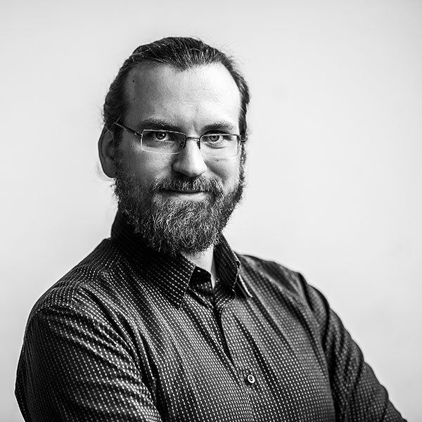
Short biography:
Anastase Charantonis is an assistant professor in Deep Learning at ENSIIE (Ecole Nationale Superieur d'Informatique pour l'Industrie et l'Entreprise), an engineering school, specialized in informatics.
After a bachelor in mathematics at Kapodistria University of Athens, he obtained a masters degree from Ecole Polytechnique de Paris, in Ocean, Atmospheric, Climate and Teledetection sciences .A budding fascination with Machine Learning as applied to environmental sciences lead him to obtain a PhD from Sorbonne Université entitled: "Inverse methodology for the retreival of verticl profiles of oceanic parameters from sea-surface images by using hidden Markov models and self-organizing maps". During his subsequent post-docs and current position, he has been researching and publishing on creating and addapting methods of Machine and Deep Learning in order to model the environment and deal with missing data. His work has been applied to recovering profiles of different nature: from Chlorophyll-A to Temperature profiles, Salinity and Suspended particulate matter profiles to partial pressure of CO2 and velocity profiles.
Abstract:
Over the past 50 years of the satellite era, the ammount of data availiable to further the understanding of our environment has been ever-increasing.
On the other hand, subsurface data is costly to acquire, requiring dedicated moorings or oceanic missions, and their spatio-temporal frequency is inferior by orders of magnitude to the one provided from satellites.
Concomittantly to this expansion of sea-surface coverage, the field of machine and deep learning has been going through a sustained revolution, with techniques and hardware improvements that have propulsed data science to the forefront of both scientific and social attention due to the undeniably impressive results obtained in a multitude of fields.
This talk will present different machine and deep learning approaches (PROFHMM, ITCOMP SOM, ConvLSTM...) to retreive the vertical profiles of different geophysical parameters from sea-surface satellite observations.
Arranged date for the seminar talk: Jun 17, 2019
